Services
Engineering services
We build the digital twin of your water network.
We build a precise, reliable digital model of your water network, capable of simulating complex dynamics and analysing structural weaknesses under different operating scenarios, both under ordinary and peak conditions. This is essential for efficient management and to support the utility in planning, optimisation and intervention activities.
Modelling
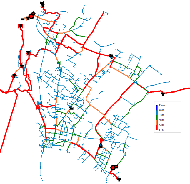
Digitisation and complete topological reconstruction of the infrastructure. Using tools developed in-house in Python, we convert the available raw data (GIS mapping, Shapefiles, the province’s SIR database) into an initial mathematical model structured in the EPANET environment.
In this phase, we verify the consistency of geometric connections, input the physical properties of the pipes (diameters, lengths, sections), and map all the system’s nodal elements: tanks, springs, pumps and individual users, defining their ordinary consumption patterns and seasonal peaks.
Field measurements and calibration
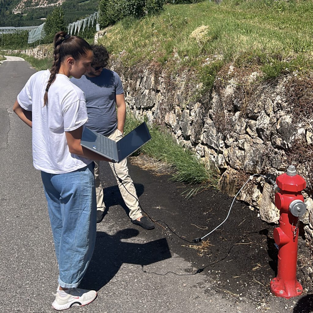
In order to obtain a realistic and precise hydraulic model, our team carries out real field measurements to calibrate the model. To do this, we install sensors at optimal points in the network, collecting physical flow and pressure data.
The system then compares this real data with simulation results using heuristic optimisation algorithms. The software automatically corrects and calibrates uncertain parameters (such as pipe roughness), minimising the gap between reality (field measurements) and model results. The result is a fully validated Digital Twin, capable of fully representing the real water network.
District metering and water loss reduction
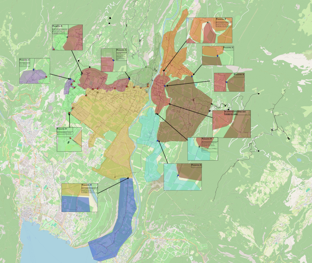
District metering of water networks is one of the most effective strategies for improving the management, control and efficiency of urban water systems. This approach involves dividing the overall water network into autonomous sub-sections, called District Metered Areas (DMAs), within which inflow and outflow can be precisely monitored and controlled.
This methodology provides numerous benefits, including the ability to detect and locate leaks more quickly, improve the water balance, optimise pressure management and, ultimately, ensure a more reliable and efficient water distribution service.
Critical issue analysis and intervention planning
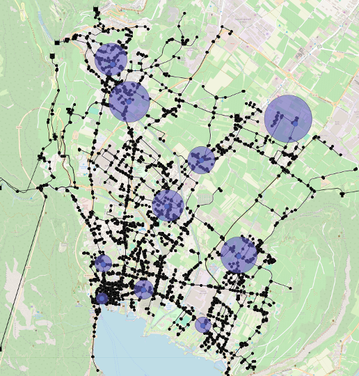
Starting from an up-to-date picture of the network and the calibrated hydraulic model, we identify the network’s weak points, using the model to address concrete operational problems.
On this basis, we build an operational plan that defines intervention priorities, guided by the network’s performance indicators, to schedule maintenance and upgrades where they are truly needed.
We also support the search for leaks not yet located, network sectioning for works or emergencies, and the assessment of alternative solutions before intervening on site, reducing the time and cost of maintenance operations.
Water balance and indicator calculation
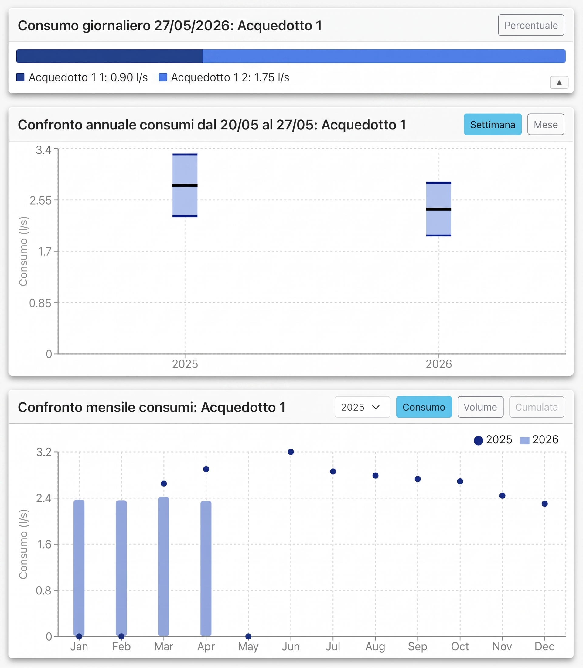
We calculate the network’s water balance: how much water enters, how much actually reaches users, and how much is lost along the way. A fundamental step in understanding where to intervene before even opening a work site.
From this balance we derive the network’s performance indicators, including those required by ARERA, useful both for assessing service efficiency and for justifying investment choices to the regulator and to the utility.
Ready to modernise the way you manage your water?
Request a demo and discover how our software can help you manage water more rationally, sustainably and with a long-term vision.